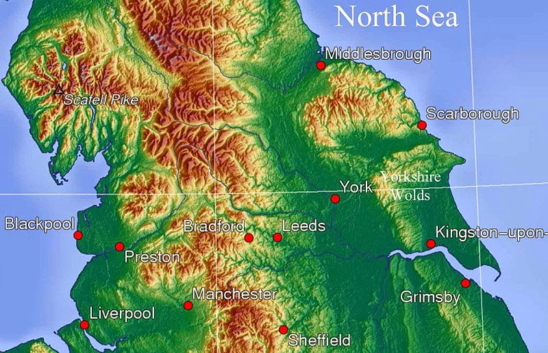
Thixendale & Wharram Percy (Yorkshire Wolds)
My final outing in 2013 was a very enjoyable 8 mile circular
walk closer to home, in the Yorkshire Wolds, starting and finishing at the
secluded and picturesque village of Thixendale.
As I was following a route I'd walked on at least three previous
occasions, no maps were needed. It was a
blustery day with a mixture of sunshine and clouds and up on the higher ground
it certainly felt every bit like December.
In the more sheltered valleys though, out of the wind, it was
surprisingly pleasant.


The Yorkshire Wolds is an area of chalk hills and dry
valleys which stretch in an arc from west of Hull by the Humber Bridge,
northwards and then eastwards to meet the North Sea at Flamborough Head.
Where the chalk is visible in the white cliffs of
Flamborough Head is the very eastern most tip of the Wolds. Gradually, as the line of chalk disappears
inland, the coastline changes to boulder clay.
You can actually see where the boulder clay coastline of Holderness
(famed for its rapid rate of erosion) begins at Sewerby, just north of the
seaside town of Bridlington.
Flamborough Head
The Yorkshire Wolds has many public rights of way and
walking routes, whilst more ambitious hikers can walk the entire Wolds Way, a National
Trail starting at the Humber Bridge and ending at Filey Brigg, just north of
Flamborough Head.
Waymarker on the Wolds Way National Trail
In 1997 Tom and I attempted to walk this 79 mile long trail
in very hot and humid conditions. We
managed to get as far as Wharram Percy (a distance of approximately 50 miles)
before blisters upon blisters forced us to surrender and hitch a ride with a post
van back to the nearest train station at Malton. We're now seriously considering tackling this
trail again and possibly viewing it as a warm-up for the much more ambitious
190 miles of the Coast to Coast Walk.
The start of the Wolds Way
Our walk on this particular blustery December Sunday
afternoon headed from Thixendale to Wharram Percy, following what had been the
final section of our failed attempt at the Wolds Way, before crossing farmland
to loop back to Thixendale. This is a landscape of undulations and walking here
can involve a series of ups and downs, from the chalky hill tops down into the
dry valleys, which were formed by sheets of ice during the last Ice Age, approximately
100,000 years ago. The village of
Thixendale nestles in one such dry valley bottom and our path out of the
village took us out of the valley by way of a steep slope. The view from the top of this first climb was
very dramatic, showing a perfect example of the nature of the folds and furrows
that make up the Yorkshire Wolds.
Above Thixendale
After the initial climb it was downhill again, into a dry
valley bottom which was followed for a short while before our route climbed onto
the high ground again.
A dry valley in the Wolds
For the next mile or so we followed the Wolds Way around the
top edge of a dry valley until it turned and in the distance, at the head of
the valley, we could see the ruined church of St Martin, Wharram Percy.
Approaching Wharram Percy
The sun was shining and it was sheltered down in the valley
by the ruins of the church which, being the halfway point of our walk, was the ideal
place to stop for a lunch break. It was
surprisingly busy down there. Obviously
the sunshine had brought people outdoors to walk off their Christmas excesses
and I was astonished to see one man dressed in shorts and t-shirt, although as
a concession to the season he was also wearing a woolly hat and scarf. A strange combination indeed!
Wharram Percy
The village of Wharram Percy originated between the 10th and
12th centuries and was finally abandoned by 1506. Although many people believe the reason for
its desertion was the plague known as the Black Death (1348-49), the real
reason it was abandoned was because the landowners wished to turn the area over
to grazing for sheep. The church of St
Martin, however, remained in use by the residents of nearby Thixendale until
the 1950s. A storm caused the tower to
collapse in 1959 and in the 1970s the roof was removed for safety reasons. In spite of this, it is still quite clearly a
very typical English village church which looks rather strange and eerie in
this very pretty valley.
The ruined church of St Martin
Today Wharram Percy is in the care of English Heritage and
there are various information boards around the site, explaining the findings
from several excavations that have taken place over the past few decades. Our route took us out of the village area and
uphill to follow a country lane until we could pick up a dry valley that would
lead us back to Thixendale. As we stood
on the higher ground looking back towards the deserted village, the grassy outlines
of the former cottages and village
buildings were clearly picked out in the afternoon light.
Visible outline of deserted village buildings
Four miles of walking up hills and down dry valleys took us
back to Thixendale as the light was fading and the temperature began to
drop. It had been a most enjoyable
walk. Much easier than when we attempted
the Wolds Way, back in the sticky heat of June 1997. Maybe late winter or early spring would be
the best time to walk such a long distance?
This is something we are considering, because as far as we're concerned
the Wolds Way remains unfinished business.


Lovely, Paula. I know Thixendale very well. Did you visit the very odd local pub? Ciao. Antonella x
ReplyDeleteNot on this occasion Antonella. We've been there a few times previously though. There's a wold valley close by called Painslack and the pub used to do a huge sandwich called a Painslack Handful (a play on a Yorkshire saying for a large amount...a "slack hand full". I wonder if they still do that? We might have to return to find out!
ReplyDelete